⛈ Severe Thunderstorms Possible Friday, Followed By Snow ❄
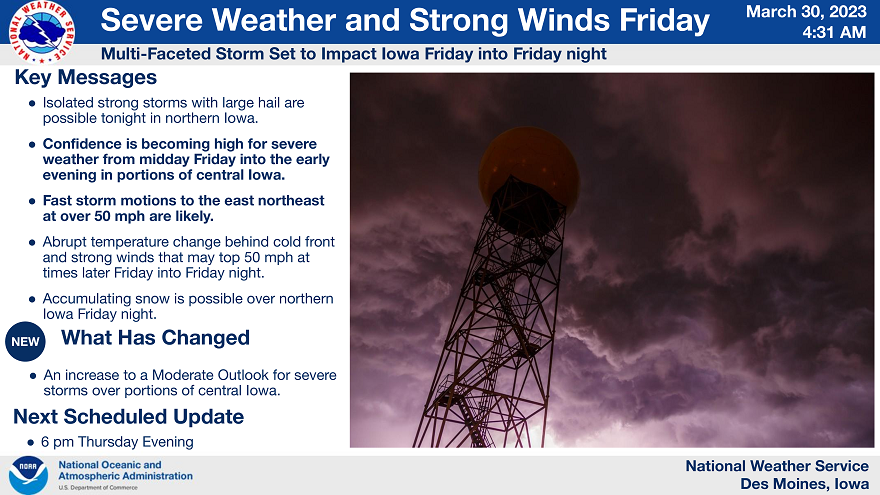
A multi-faceted storm is expected to affect the state of Iowa starting later today and persisting through Friday into Friday night. A few storms are expected in northern Iowa tonight but the main concern comes on Friday. Storms are forecast to develop by early afternoon in central Iowa strengthening rapidly. Severe storms are expected with the highest threat along and east of the Interstate 35 corridor.
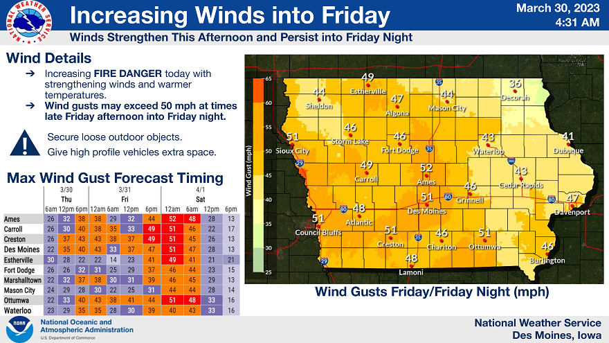
The main concerns will be from damaging wind gusts of 70 mph or greater along with a few tornadoes. In addition, hail up to one and a half inches is also possible. The storms will be moving in excess of 50 mph, therefore as they approach a given area, have a plan in place for shelter that you can access quickly. Strong winds from the south are expected during the day as well becoming west and even stronger into Friday night as colder air spreads into the state.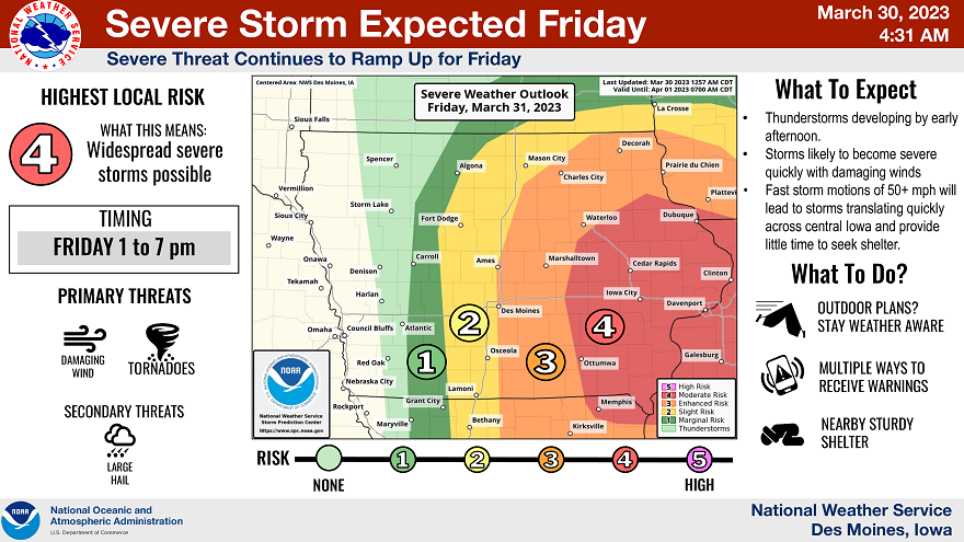
Winds increase through today and into tonight as low pressure strengthens across the Plains. Gusts by later today into tonight of 40 to 45 mph are expected. Even stronger winds are expected on Friday and especially Friday night. Gusts in excess of 45 mph are forecast in southern Iowa on Friday ahead of an approaching cold front. However, behind the front, even stronger winds from the west to northwest are expected approaching 50 mph at times.
Light snow accumulations are possible over northern Iowa on Friday night into Saturday morning. The combonation of falling snow and strong winds will produce blowing snow. This will restrict visibilities across northern Iowa on Friday night into Saturday morning.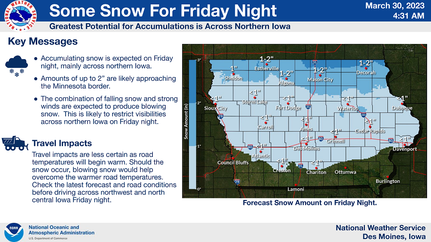
NWS Des Moines